


USA: 2021 A Drought Year Like No Other!
At the 2021 Top Producer Summit, Eric Snodgrass, principal atmospheric scientist at Nutrien Ag Solutions, gave farmers an overview of weather lessons learned from the past several months as well as a longer-term outlook.
“This winter wasn’t what we expected,” he says. “We’ve been studying La Nina for 70 years, and normally we’d have colder air out of the Canadian prairies and a wetter Ohio River Valley than what we’ve seen.”
While the events of the past 10 days will cause many to remember this winter as very cold with widespread precipitation events, Snodgrass reminded attendees that the U.S. has had a dry and mild winter.
“In the front half of winter—Dec 1 to Feb 1—it was extremely warm. The Northern Plains in the U.S. were quite warm. Temperatures in Canada were 15 to 20 degrees above average continually,” he notes.
Here are the weather-related areas he’s watching most closely, going forward:
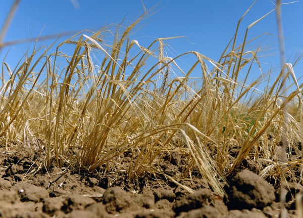
The Northern Plains and North Dakota specifically. When the polar vortex dipped south in mid-February, temperature anomalies averaged 20 degrees below normal and some were 40 below normal. From Montana to Texas, there were wheat fields that had two days of sub-freezing temperatures before they were protected with snow. Additionally, some areas of North Dakota and South Dakota didn’t receive any snow during the February events. So that adds to the drought stresses there—which will require 200% of the average spring rainfall to make up for the deficit.
“It’s the driest it’s been in North Dakota in the past 40 years,” he says.
Notable dry pockets. Snodgrass says the latest drought monitor “is very unique.”
“Over the last 20 years, we’ve never seen a drought situation looking like this through February. There’s extensive drought in the Northern Plains. There’s exceptional drought in the four-corner states. But there’s little drought in the eastern half of the U.S.,” he says.
The haves and have nots–precipitation anomalies. Snodgrass notes that North Carolina is starting off 2021 with one of the wettest years on record. However, California continues its dry trend. He says the Sierra Nevada mountains are not forecast for significant snowfall and precipitation until the middle of March.
So, what does this mean for planting season and into the summer?
Snodgrass says the models are pointing to similar patterns that were present in 2020.
“The corn and soybean belt will likely see above-average temperatures into May and June with some early-season drought. Then as the heat sets up, it will migrate west as we get into July and August,” he says.
He notes the climate has already reshaped parts of the 2021 growing season. Since 1948, between March and May, the primary corn and soybean belt states have measured a 2” increase in precipitation. As for temperatures, they’ve warmed about 1 degree.
“This pattern has reduced the number of workable planting days by five,” Snodgrass says. “But it’s also allowed us to get into fields earlier and lengthened the growing season by nine days.”
Tags: drought year, USA
Read also
Couldn’t attend BLACK SEA GRAIN.KYIV? Catch up with the insights – get the e...
Another batch of Ukrainian grain was delivered to Sudan
Grain harvest in Russia in 2024 may drop to 135-136 mln tons due to drought
The 21st International Conference BLACK SEA GRAIN.KYIV took place in Kyiv on April...
Sunflower oil production in the world is growing and “breathing down the neck” of ...


Got additional questions?
We will be happy to assist!
Write to us
Our manager will contact you soon